From our field notes
Golden Circle map, Iceland: the loop, the stops and the real distances
Published 29 July 2026 · updated 22 September 2026 · 7 min read
By Clément Lacaille, publisher · our method
The Golden Circle is a loop of about 243 km from Reykjavík: Þingvellir, Geysir, Gullfoss, then back via Kerið and Selfoss, a little under 4 hours of driving without stops. Below: the map of the loop drawn from OpenStreetMap coordinates, distances and driving times computed segment by segment, the four side stops worth making and what they add to the odometer.
The loop at a glance
Leave Reykjavík on Route 1 then Route 36 to Þingvellir National Park, head east on Routes 365 and 37 (Laugarvatn) to the Geysir geothermal area, carry on 10 km along Route 35 to Gullfoss waterfall, then drive back south on Route 35: Kerið crater, Selfoss, and Route 1 back to Reykjavík. You never drive the same stretch twice.
The classic mistake is to look at the distance to Gullfoss (117 km by the most direct road) and plan an out-and-back. The full loop is only 243 km, barely more than an out-and-back, for three major sites and a different road home.
Map of the loop
Distances and driving times, segment by segment
The distances and times below were computed with the OSRM routing engine on OpenStreetMap road data on 22 September 2026, between the points on the map. They are pure driving times at the legal speed (90 km/h maximum outside towns in Iceland): add 15 to 20% in summer for traffic and photo stops, much more in winter.
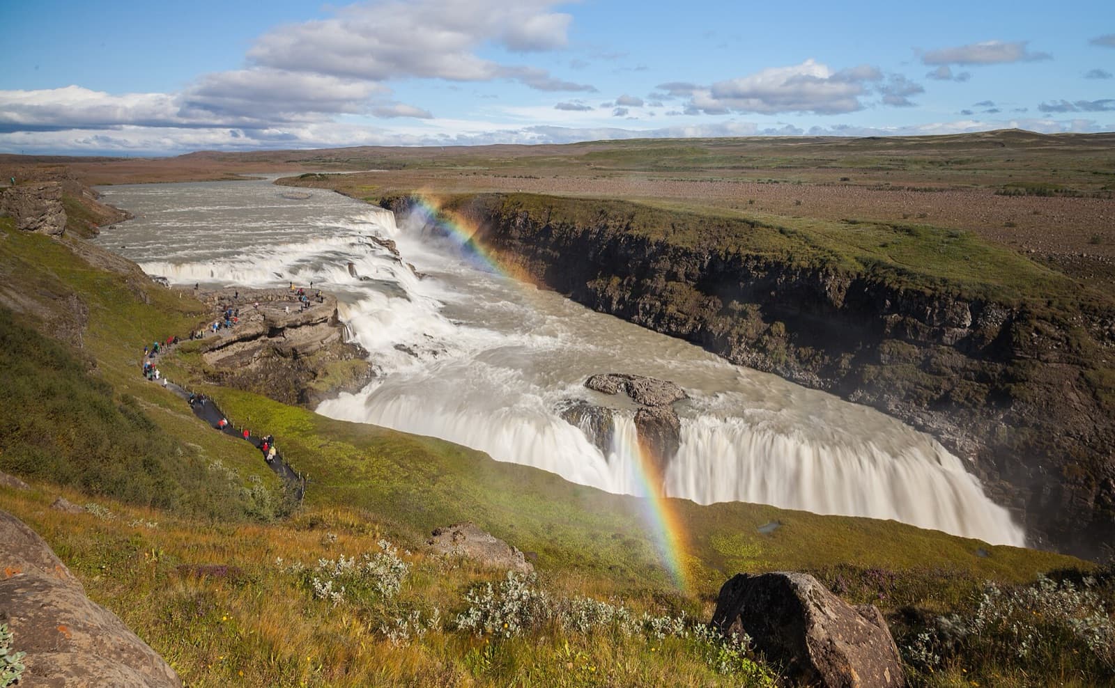
Pure driving fits in a morning. Time on site is what fills the day: allow at least an hour of walking at Þingvellir, thirty to forty-five minutes at Geysir to watch Strokkur erupt several times, and as long at Gullfoss to walk down to both viewpoints.
| Segment | Roads | Distance | Driving (OSRM) |
|---|---|---|---|
| Reykjavík → Þingvellir | 1 then 36 | 48 km | ≈ 47 min |
| Þingvellir → Geysir | 365, 37 then 35 | 61 km | ≈ 1 h |
| Geysir → Gullfoss | 35 | 10 km | ≈ 9 min |
| Gullfoss → Kerið | 35 southbound | 55 km | ≈ 50 min |
| Kerið → Reykjavík | 35 then 1 via Selfoss | 69 km | ≈ 1 h 04 |
| Full loop | 243 km | ≈ 3 h 50 without stops |
Side stops and what they cost in kilometres
Four stops appear in almost every itinerary. Two are on the loop and cost nothing: Efstidalur farm, on Route 37 between Laugarvatn and Geysir (ice cream made on site), and Kerið crater, on Route 35 on the way back (a turquoise lake inside a red volcanic cone, paid entry). Two need a short detour: Faxi waterfall and the Secret Lagoon hot spring at Flúðir.
Going via Faxi then Flúðir between Gullfoss and Kerið stretches that leg from 55 km to 74 km, about 19 km and twenty minutes of extra driving. It is the detour most worth making if you want to end the day in a hot pool that is quieter than the big spas of the Reykjanes peninsula.
| Stop | Where | Detour | Best for |
|---|---|---|---|
| Efstidalur (farm) | Route 37, between Laugarvatn and Geysir | None | Lunch or ice cream |
| Kerið (crater) | Route 35, on the way back | None (paid entry) | Everyone, 20-30 min |
| Faxi (waterfall) | Just off Route 35, between Gullfoss and Reykholt | ≈ +19 km with Flúðir | Photos without the Gullfoss crowds |
| Secret Lagoon (Flúðir) | Flúðir village | ≈ +19 km with Faxi | A hot soak at the end of the day |
Which way to drive and when to leave
Coach tours leave Reykjavík mid-morning and nearly all start with Þingvellir. Two ways to avoid them: leave early (around 7-8 am in summer) in the usual direction, or drive the loop in reverse, Kerið and Gullfoss first, reaching Þingvellir late in the afternoon.
Crowding is mostly a matter of time and place, not a given. An analysis of 507 online media articles on "overtourism" in Iceland (Anna Dóra Sæþórsdóttir, C. Michael Hall and Margrét Wendt, Sustainability, 2020) concludes that the media give only a partial picture of how crowded the country's natural sites really are: the image of a saturated Iceland holds neither everywhere nor all the time.
In winter: same loop, different day
The loop is paved and open all year; an ordinary car is enough, no 4x4 needed. In winter the days are short (around 4 to 5 hours of daylight in December) and Routes 365 or 35 can be icy: narrow the plan to Þingvellir, Geysir and Gullfoss, skip the detours and leave with a full tank.
Before setting off, check road conditions on umferdin.is (the Icelandic Road Administration) and alerts on safetravel.is. These are the two sources the rental companies themselves point their customers to.
Sources
- Sæþórsdóttir A. D., Hall C. M., Wendt M. (2020). "Overtourism in Iceland: Fantasy or Reality?", Sustainability 12(18), 7375. DOI 10.3390/su12187375
- Umferðin — live road conditions (Vegagerðin, Icelandic Road Administration)
- Safetravel.is — weather and road alerts (ICE-SAR)
- Þingvellir National Park — official site
- OpenStreetMap (coordinates) and OSRM (distances and driving times), computed 22/09/2026
Free decoder
The Iceland car rental insurance decoder
CDW, SCDW, Gravel Protection, Sand & Ash, river crossings never covered, wind-bent doors: our decoder goes through the Icelandic quote line by line, with the check-out checklist and the 5 questions to ask before signing. Instant access, with the current promo code.
No time to do it yourself?
A professional can take care of it: tailor-made trip, equipped 4x4 rental or a local guide. Describe your plans and, with your consent, we pass them on to partner professionals.
1. What you need
Before you go
Readers' questions
How many kilometres is the Golden Circle?
243 km for the Reykjavík → Þingvellir → Geysir → Gullfoss → Kerið → Reykjavík loop, about 3 h 50 of driving without stops (OSRM on OpenStreetMap). With the detour via Faxi and the Secret Lagoon at Flúðir, add about twenty kilometres.
How long does the Golden Circle take?
A full day, 8 to 10 hours with the visits. A half-day works if you keep only Þingvellir, Geysir and Gullfoss, with no detours.
Which direction should you drive the Golden Circle?
Either works. Nearly all coaches start with Þingvellir mid-morning: leave early, or drive the loop in reverse starting with Kerið and Gullfoss.
Do you need a 4x4 for the Golden Circle?
No: the whole loop is paved and open all year. In winter an ordinary car with winter tyres (supplied by rental companies) is enough, but check road conditions on umferdin.is before leaving.