From our field notes
GPS and navigation in Namibia: why Google Maps isn't enough on gravel
Published 19 July 2026 · updated 22 September 2026 · 8 min read
By Clément Lacaille, publisher · our method
Relying on Google Maps alone is one of the most common — and most deceptive — planning mistakes for a Namibia self-drive. The app looks perfectly reliable right up until it puts you two hours behind schedule on a gravel road, headlights on, hunting for a camp that locks its gate at sunset. Mobile signal disappears the moment you leave the main routes, not every D-road is mapped correctly, and mainstream navigation apps don't account for the real condition of the gravel. Here's how to navigate properly for a self-drive road trip, with no unpleasant surprises at dusk.
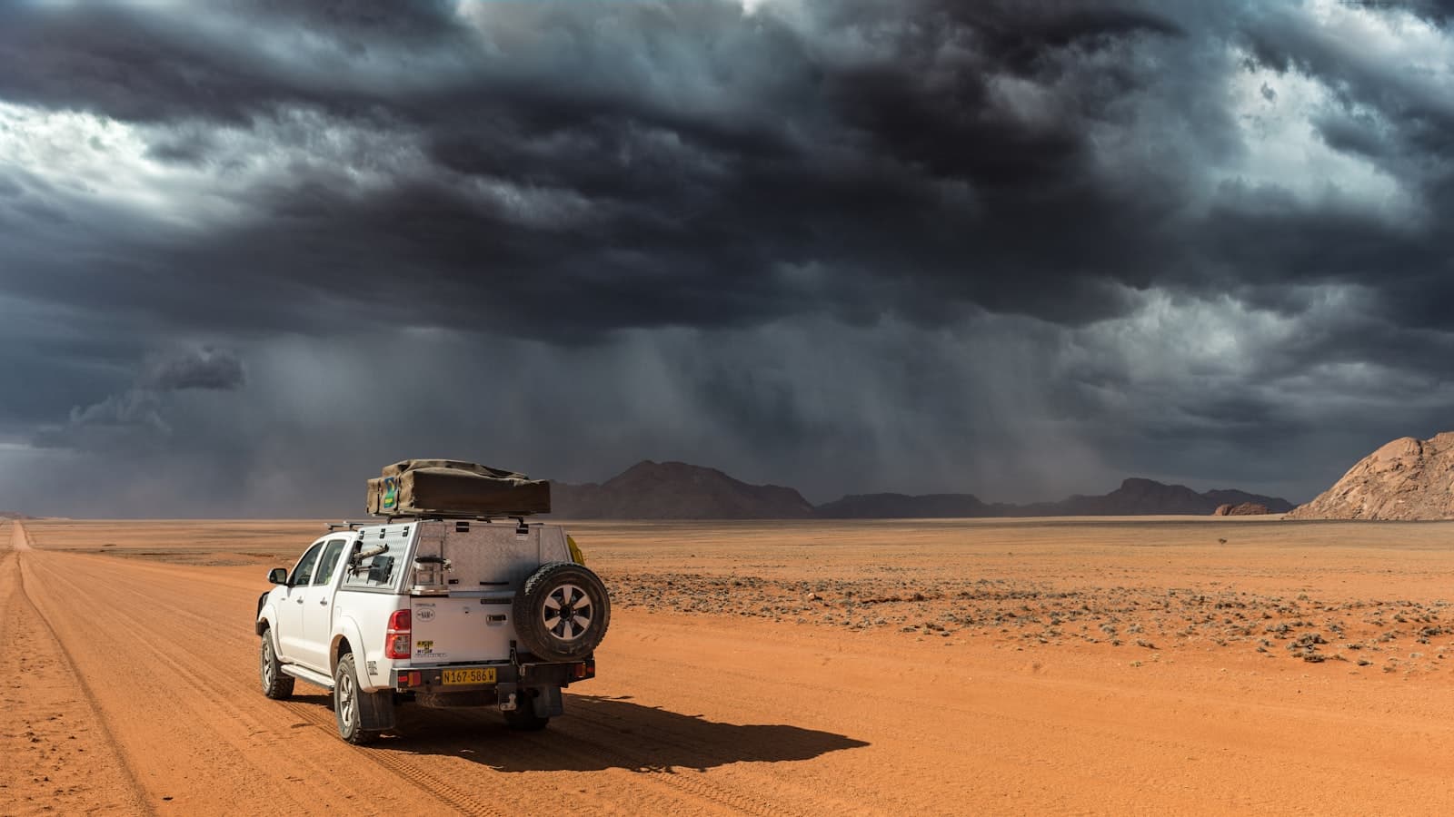
The problem: Google Maps badly underestimates gravel roads
On tarred roads (the B routes), Google Maps is broadly reliable in Namibia: the estimated travel times are roughly accurate. The trouble starts on gravel — which covers most of the roads leading to the places that make the trip worthwhile: Sossusvlei, Damaraland, the Kaokoveld, most of the C and D roads. On these stretches, the app's calculated travel times are routinely 30 to 60% too low, because the routing engine treats a gravel track like an ordinary road, without accounting for corrugations, potholes, river crossings or sandy patches.
Beyond the timing, there's a more serious issue: the route itself. Mainstream mapping doesn't always correctly distinguish public D-roads from private tracks serving a farm or lodge, and it's not unusual for the app to suggest a 'shortcut' that ends at a locked gate, crosses private land, or requires a properly equipped 4x4 to pass at all. It's rarely a real problem in itself — you just turn around — but it's exactly the kind of setback that eats into an hour of daylight in the late afternoon, right when you have the least to spare.
The good news: this flaw is well known and easy to work around once you're aware of it. The fix is simply not to rely on a single tool.
Tracks4Africa, the reference for Southern African terrain
Tracks4Africa (often shortened to 'T4A') is a mapping dataset built over more than twenty years by a community of Southern African travellers and overlanders, specifically for the region's roads — including the gravel tracks that generic mapping handles poorly. It distinguishes road surface conditions, correctly marks lodge and camp access roads, and calculates travel times from real field data rather than a generic speed model.
The easiest way to access it today is the free Tracks4Africa Guide app, available on iOS and Android: the base download includes a demo map, and each country (Namibia included) is then unlocked separately via an in-app purchase for fully offline use, once the map has been downloaded — no connection needed on the road. Data is updated roughly once a quarter, which matters on tracks whose condition changes from one season to the next.
Many Namibian 4x4 rental companies also equip their vehicles with a Garmin GPS unit pre-loaded with Tracks4Africa maps — usually offered as a paid extra with the rental (expect around $10/day, depending on the agency). It's a comfortable option if you'd rather not depend on your phone, but it isn't essential: the mobile app now does the same job for the price of a single purchase, provided you download the map before leaving the wifi in Windhoek.
Free apps worth having as backup
Alongside Tracks4Africa, two free apps deserve a spot on your phone. Organic Maps (the community-run successor to Maps.me, built on the same OpenStreetMap data) works fully offline once the Namibia map is downloaded, and makes a solid fallback for getting your bearings in town or double-checking a route. OsmAnd, on the same principle, adds more advanced navigation features while still offering free offline use at a basic level.
Google Maps still earns its place in the toolkit: it's the best option for a quick overview, for finding a petrol station or supermarket in town, and for straightforward navigation on the main tarred routes. The trick is simply never to trust it alone for a travel-time estimate on gravel — and to always download the area for offline use (Google Maps supports this) before leaving network coverage, as a precaution even if the app is only meant as a backup.
The method: recalculate the time Google Maps gives you
Rather than chasing the perfect app, the most reliable approach is to apply a correction margin to whatever time Google Maps displays, based on the type of road ahead. It's what most experienced travellers in the region do instinctively, and it avoids arriving after a camp gate has closed, or driving after dark — strongly discouraged in Namibia because of wildlife on the road (see our article on why night driving is effectively banned).
| Road type | Correction to apply to the Google Maps time |
|---|---|
| Tar (B roads) | Reliable as shown, add 10% for stops |
| Maintained gravel, main C roads and approaches to Etosha/Damaraland | + 30% |
| D-road tracks, sand, transfers to Sossusvlei or the Kaokoveld | + 50% or more |
Before you leave: the navigation checklist
The paper map and offline backup are not an old-timer's affectation. Toru Ishikawa and colleagues (Journal of Environmental Psychology, 2008), comparing navigation by GPS, by paper map and by direct experience, found that GPS users stopped more often, travelled further and remembered the layout of their route less well than map readers. On gravel with no signal, the big picture is something you prepare before leaving.
Good navigation prep happens before departure, while hotel or airport wifi in Windhoek is still available — not out on the track once the signal has already dropped:
- Download the Tracks4Africa Namibia map (or activate the Garmin GPS rented with the 4x4) before leaving Windhoek.
- Also download the Namibia area for offline use in Google Maps and in Organic Maps, as a cross-checked backup.
- Write down (on paper or in an offline note) the GPS coordinates of your booked camps and lodges: some access roads aren't correctly named in mainstream apps.
- Plan around the half-tank rule alongside your navigation (see our article on fuel range): on long tracks, never count on the next waterhole or petrol station to adjust your route at the last minute.
- Never schedule an arrival after sunset: applying the correction margins in the table above lets you build a genuine safety buffer into each leg.
A detail that genuinely shapes the trip
Navigation might sound like a mere logistics detail, but it's one of the things that most clearly separates a relaxed Namibia self-drive from a stressful one: the difference between arriving calmly before dark and driving in the pitch black hunting for an invisible sign often comes down to a simple 30-minute margin nobody planned for. Our detailed stage-by-stage guides and day-by-day itineraries already build in realistic travel times, track by track — a good complement to cross-check against your own navigation. For the full preparation method, head to our dedicated Namibia self-drive page or the complete guide, which also breaks down driving times for every stage of the country.
And to take all of the above onto the gravel with you: the checklist on this page exists in an extended, printable version — app kit, time-correction table, last reliable fuel stops zone by zone, every-morning reflexes. It's the “Namibia self-drive GPS & waypoints checklist”, sent free by email via the form a little further down this page.
Sources
Free checklist
The Namibia self-drive GPS & waypoints checklist
The full navigation kit (Tracks4Africa, offline apps, the rental GPS), the Google Maps time-correction table, the last reliable fuel stops zone by zone and the every-morning reflexes on gravel — on one printable page to keep in the 4x4. Instant access, with the current promo code.
No time to do it yourself?
A professional can take care of it: tailor-made trip, equipped 4x4 rental or a local guide. Describe your plans and, with your consent, we pass them on to partner professionals.
1. What you need
Before you go
Readers' questions
Does Google Maps work offline in Namibia?
Yes, provided you download the area for offline use before leaving network coverage (Windhoek, Swakopmund, the main towns). But even downloaded, the map stays inaccurate on gravel travel times: it's best used as a general overview, not as a reference for setting your daily schedule.
Is it really worth paying for Tracks4Africa, or do the free apps suffice?
Free apps like Organic Maps or OsmAnd make solid backups, but they rely on generic OpenStreetMap data that doesn't always reflect the actual condition of Namibian tracks. Tracks4Africa remains the reference for the region, with quarterly updates drawn from field reports — a one-off purchase per country that pays for itself many times over on a two- or three-week circuit.
Is the GPS unit provided by the rental company good enough on its own?
If it's loaded with Tracks4Africa maps (the case at many Namibian rental companies), yes, it does the job. It's still worth keeping an offline app on your phone as backup, though: if the GPS unit fails or its battery dies without a working charging point, you're not left with zero reference on an isolated track.
Is there mobile signal on Namibia's gravel tracks?
Very little, outside the main towns and a handful of primary routes. Coverage disappears as soon as you head into the Kaokoveld, remote Damaraland or the Kalahari tracks. That's exactly why a map downloaded in advance, usable entirely offline, is essential rather than optional.